
In May 2013 I organized with my partners at Wefab, a 2-day workshop of DIY Aerial Mapping to introduce to participants some theory and practice around this topic thanks to the support of Digicult and Connecting Cultures which organized the event Milano&Oltre at Triennale Milano.
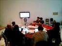


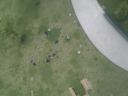
The workshop took place on the 14th and 15th of May: on the first day we introduced some background history of ballon photography and then presented some results of the tests held in the previous days. We had a test on the terrace of the Design Museum and then planned the mapping for the day after. On the second day we met in the defined location and sent the ballon up in the air three times.
The first part of the workshop took place at Triennale, the second part in the Parco del Portello in Milan. http://www.openstreetmap.org/?lat=45.48748&lon=9.14429&zoom=17&layers=M
This choice was made for several reasons: – The place is easily accessible by public and private transport (to carry a balloon and helium gas cylinder). – It is a large free space, close to some major urban transformations in the city of Milan (Portello area, area Citylife). – Also this area has been the subject of a recent urban redevelopment project, and aerial photographs found online still represent the preliminary works. – There are some hills which provide a base higher than surroundings.
The meteorological conditions were not favourable, the day was cloudy and windy. Shortly after finishing the third flight it started to rain.
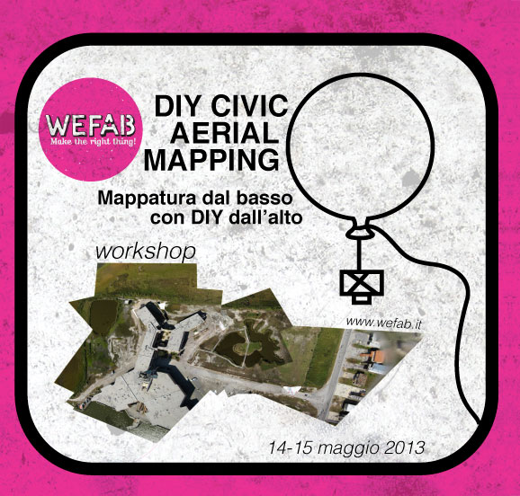
Read the details of the how to on Public Laboratory.
